IoT sensor module with GPS tracker

Remote monitoring set-ups are a great way to track your projects when physical and in-person measurements are impossible. Given the remote nature of your set-ups, it can be extra valuable to stay up to date about your sensor device's location.
When does GPS aid your project?
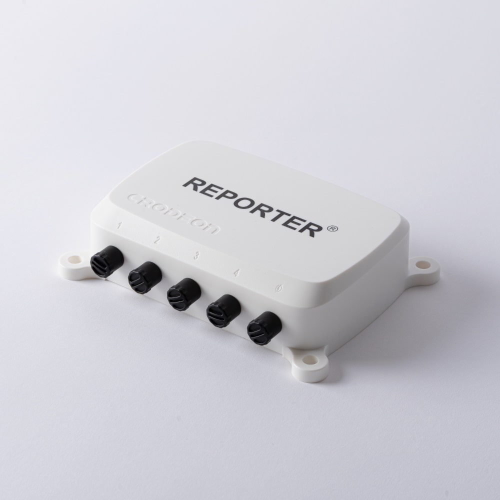
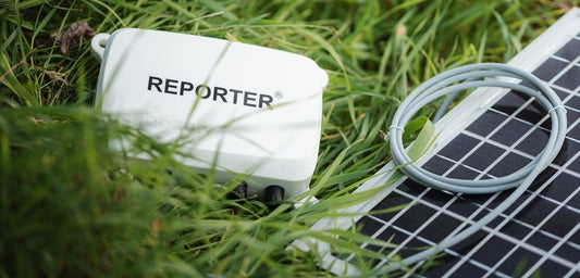
Reporter, our solution for easy plug & play remote monitoring comes with built-in GPS tracker that sends out location updates. Keep track of the longitude and latitude of your outdoor* Reporter. Human error is greatly reduced as the real location can easily be checked in an accessible Google Maps embed on the Crodeon Dashboard.
In this blog, we'll give some examples of why a location tracker perfectly matches your remote monitoring IoT project.
Identify different set-ups
When several different set-ups are located in the same area it can be useful to have a means of distinguishing the set-ups by exact location. GPS location can help you quickly see what set-up is located where.
When the exact location of a set-up is important for calculating the effects on another location, the exact coordinates can also be required. For example wind measurement at a festival site. When a storm is growing near weather station A, it's good to know the exact location of weather station A related to the location of the festival site.
GPS coordinates can also help you identify what Reporter was located where in past projects. Say you had three different Reporters measure weather conditions, tree growth, soil moisture, and leaf wetness in your orchard or vineyard. You have elaborate data logs that show slightly different circumstances in different locations on your field. After measuring and monitoring the frost period you removed your Reporters and now you want to place the same devices back in the same location to compare the data of last year to this year, you however forgot what device was located where. The location tracker will clear this up in no time, look at the historic data and you're good to go!
Localise lost freight and stationed vehicles
GPS location updates are a valuable addition to asset tracking and management. Keep track of the location of valuable assets, such as vehicles, equipment, or cargo containers. Especially in harbours or large parking lots, location updates can lessen the challenge of quickly localising what you're looking for.

Environmental monitoring
Track environmental conditions in remote locations, such as forests, oceans, or wildlife reserves, now with a clear view of where the device is located.
Personal safety and security
If staff has to venture out to (dangerous) remote locations to change anything about the set-up, it can be useful to know the exact GPS coordinates to give to emergency services to assist in an intervention.
Identify theft of the sensor device
If Reporter is stolen or otherwise lost, the GPS tracker will help you find the last know outdoor location of the device.

What sensors benefit from GPS location data?
We've already discussed the use cases where location identification would aid your project. Now, let's have a look at what sensors benefit from remote monitoring with GPS coordinates.
Temperature sensors / relative humidity sensors + GPS
Cooled transport in vans or trucks could benefit from GPS as it allows you to easily locate a stationed vehicle.
When measuring humidity in concrete structures, it might also be useful to keep an eye on the location of the structure and device. Especially when this concerns public structures like bridges, tunnels, etc.
Weather station + GPS
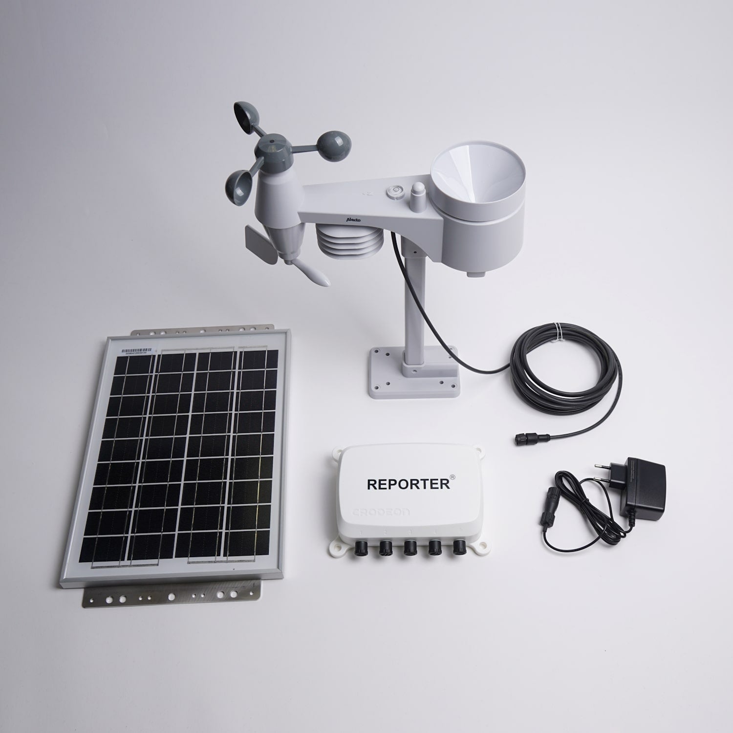
As described above, a weather station used for wind measurements around a festival site could benefit from GPS location. A weather station in an orchard could benefit from GPS for historical comparative reasons. Even during climate research, weather data with location updates can be useful.
Leaf wetness sensor / dendrometer / soil moisture sensors + GPS
These specific plant sensors benefit from location data to help you locate them in your orchard, vineyard, plant nursery, etc. They too, are more easily reinstalled in the same location when you can exactly trace their location of last year.
Level & distance sensors + GPS
Let's say you have a site with multiple wells, tanks, or containers that contain liquids. You own separate Reporters to monitor these liquids. GPS can help you locate what liquid is where at your site.
Submersible level sensors are also used to measure groundwater level at construction sites during real estate development. Local laws can force you to log groundwater level as a part of environmental laws. You know the logs are undoubtedly from your development site, but you can now prove the true location of your logs given to the municipality. All thanks to the help of GPS location data.
Give direction to your remote measuring project
At Crodeon we're ready to help you jump-start your own remote monitoring project using our user-friendly sensor device. Do you have questions about Reporter or our location updates? Don't hesitate to contact us, we're here to help.
*GPS coordinates might not be too accurate when Reporter is located inside of a building or closed metal box.


